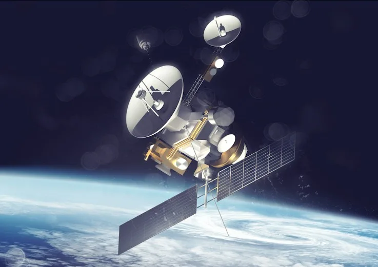
Accurate vehicle positioning through the global satellite network. GNSS delivers high-precision location data with continuous updates and wide coverage.
- Multi-constellation
- Sub-meter accuracy
- Global coverage
We build technology that helps you follow your vehicles and understand their data accurately and continuously: one integrated system that combines satellite precision, reliable cellular networks and smart data analysis.
Accurate vehicle positioning through the global satellite network. GNSS delivers high-precision location data with continuous updates and wide coverage.
Accurate vehicle positioning through the global satellite network. GNSS delivers high-precision location data with continuous updates and wide coverage.

Reliable transfer of vehicle data from the device to the platform over cellular networks, keeping data flowing even in remote areas.

A continuous view of each vehicle’s position and movement at the tracker’s reporting interval. Follow your whole fleet on an interactive map with live route tracking.

Smart geographic zones with instant notifications on entry and exit, so you catch important events and receive alerts at the right moment.

Organised data on routes, trips, speed and other available metrics, with customisable reports that help you make decisions based on accurate information.
Clearer control of your vehicles
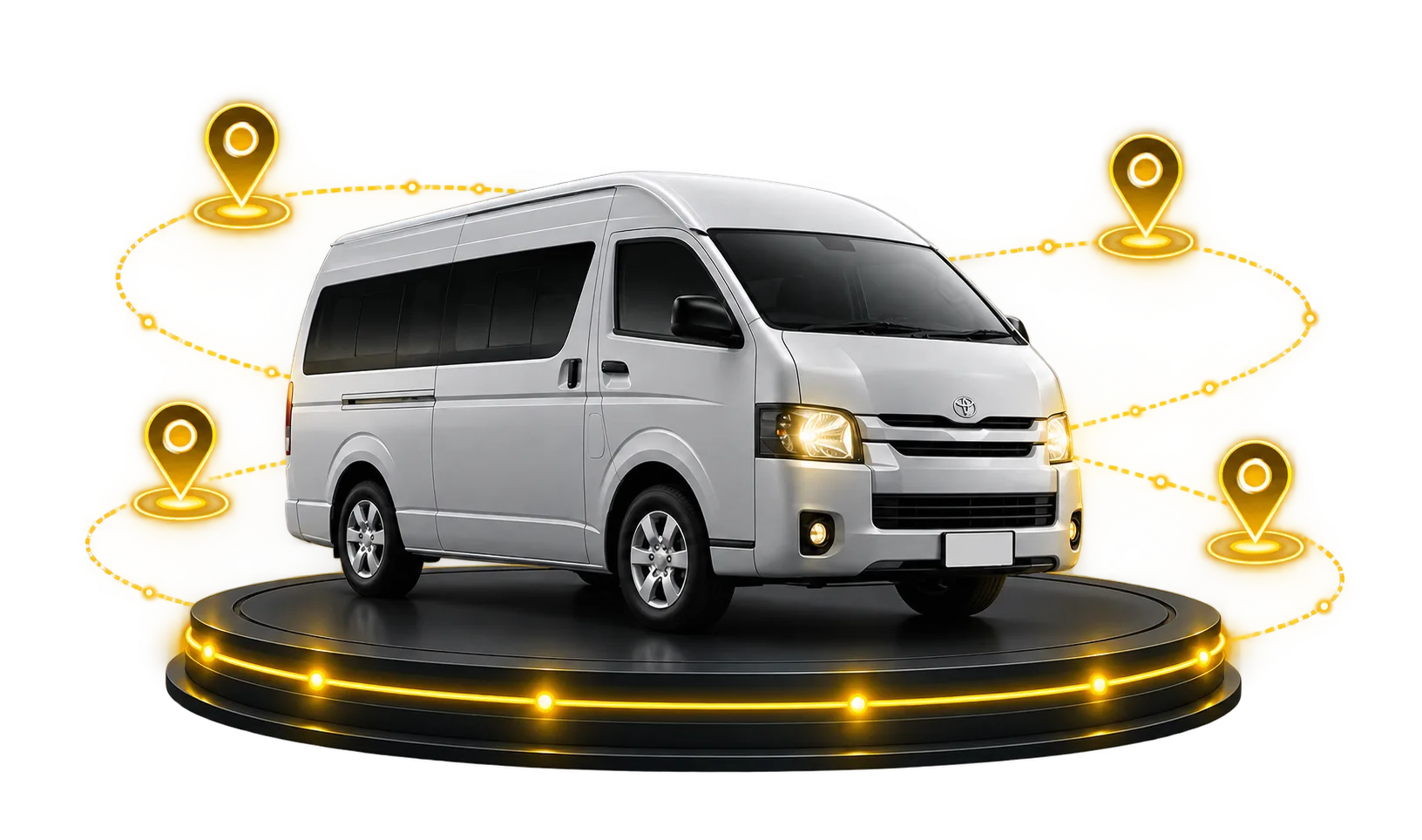
starts with a single step